Looking to obtain an FSC® or PEFC certification for yourself or your group?
We’re here to help you achieve it.
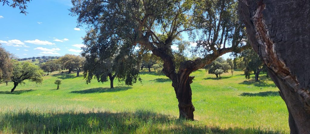
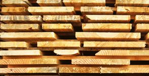
With extensive experience and a highly qualified team, we guide you through the process of obtaining FSC® or PEFC Chain of Custody certification, ensuring full traceability of your products — from the forest all the way to the final consumer.