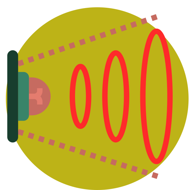
NIRs
Development of solutions using NIR technology (Near-Infrared Spectroscopy)
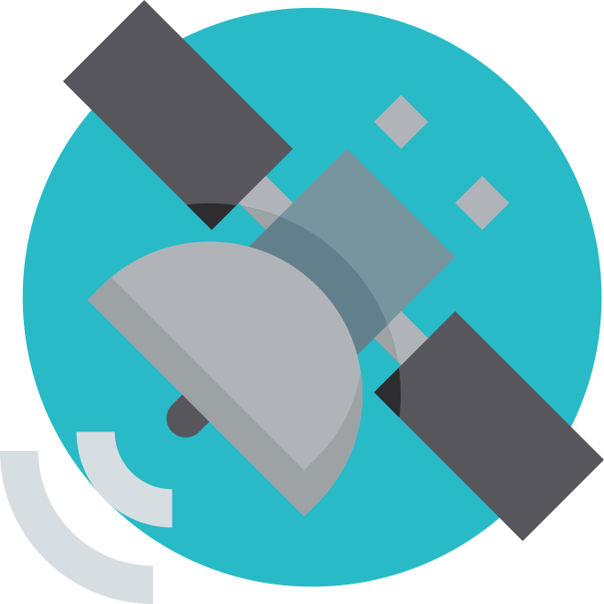
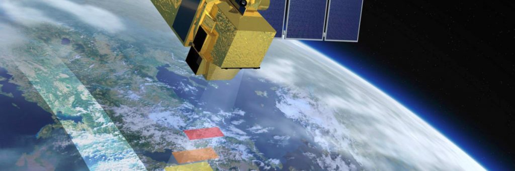
TELEDETECCIÓN SATELITAL
Analysis and development of environmental and forestry tools based on satellite imagery

SIG
Development of environmental and forestry geographic information applications
DRONES
Generation and analysis of environmental information obtained through unmanned aerial vehicles

CERTIFICATION IN FOREST MANAGMENT
More than 10 years of experience certifying forests and creating FSC® and PEFC certification groups

CERTIFICATION IN CHAIN OF CUSTODY
More than 50 chain of custody systems implemented in the wood, paper, charcoal, and packaging industries

NIRs
Development of solutions using NIR technology (Near-Infrared Spectroscopy)
TELEDETECCIÓN SATELITAL
Analysis and development of environmental and forestry tools based on satellite imagery
SIG
Development of environmental and forestry geographic information applications
DRONES
Generation and analysis of environmental information obtained through unmanned aerial vehicles
CERTIFICATION IN FOREST MANAGMENT
More than 10 years of experience certifying forests and creating FSC® and PEFC certification groups
CERTIFICATION IN CHAIN OF CUSTODY
More than 50 chain of custody systems implemented in the wood, paper, charcoal, and packaging industries


NIRs
Development of solutions using NIR technology (Near-Infrared Spectroscopy)
GIS AND REMOTE SENSING
Analysis and development of environmental and forestry tools based on satellite imagery and GIS.
CERTIFICATION IN FOREST MANAGMENT
More than 10 years of experience certifying forests and creating FSC® and PEFC certification groups
CERTIFICATION IN CHAIN OF CUSTODY
More than 50 chain of custody systems implemented in the wood, paper, charcoal, and packaging industries