Forests are home to a selection of very abundant and diverse economic resources (grass, fruit, wood, firewood, etc.) Some of these resources are available all year round, like wood, while others are seasonal, like grass, mushrooms, and fruit. Some resources can be found in vast swaths of terrain, like resin or pine nuts from a particular species of pine tree, while others are found in more specific and isolated areas, such as mushrooms or hardwood-producing trees found in tropical forests, like the mahogany tree.
Remote sensing and geographic information systems (GIS) are tools that can be used to better manage forest resources. Our company develops specific methods for each of these resources to create mapping systems, either static or continuous with varying regularities, which give forest managers the necessary tools to ensure the best use of their resources.
SOME EXAMPLES OF OUR SERVICES
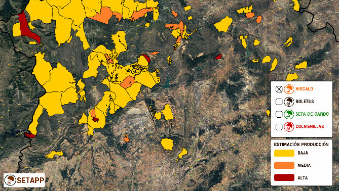
Mycological parts
The creation of a cartographic viewfinder that can predict the appearance of mushrooms in different areas using climatological, geological, and ecological parameters.
Detection of species of interest
In areas with especially high diversity, we can predict the appearance of certain specific species, for example hardwood species, species with valuable fruit, or determinants for the management of fauna.
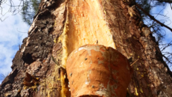
Resin management
We can better manage resin-producing plants through the detection and mapping of individual resins.